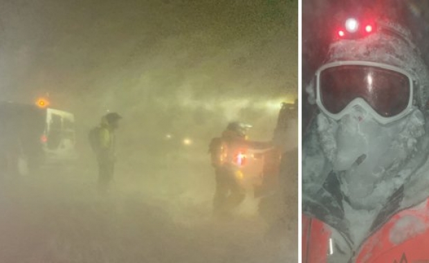

Reykjavíkians felt a sharp earthquake yesterday evening. The National Seismic Monitoring System reported a relatively powerful 4.1 magnitude quake 6 km (3.7 mi) south of Bláfjöll mountain range. Bláfjöll (Blue Mountains) are visible to the south-east of Reykjavík, and to the south of the Ring Road from Reykjavík to South Iceland, before the road climbs Hellisheiði heath.
Previously: Sharp 4.1 magnitude earthquake south of Reykjavík felt in capital region
The Icelandic Meteorological Office has now revised its initial report of the quake: Two separate tremors, both 4+ magnitude, hit with less than a 5 second interval. The first, a 4.1 magnitude quake with an epicenter 6.2 km (3.85 mi) south of Bláfjöll cabin, at a depth of 4.5 km (2.8 mi). The second, a 4.0 magnitude quake was detected less than 5 second later 6.8 km (4.2 mi) south-southwest of Bláfjöll cabin at a depth of 7.9 km (4.9 mi). The quakes were followed by a swarm of smaller quakes and tremors. Nearly 40 quakes have been detected in the area since yesterday.
The quakes took place on the tectonic plate boundary which runs along Reykjanes peninsula, and are caused by the drifting apart of the North American and Eurasian tectonic plates. Large quakes are common in the area. The largest recorded quake in the region where yesterday's quakes were detected took place in 1929: A powerful 6.2 magnitude quake. The last time a 4+ magnitude quake was detected in the area was a 4.6 magnitude quake in August 2012.