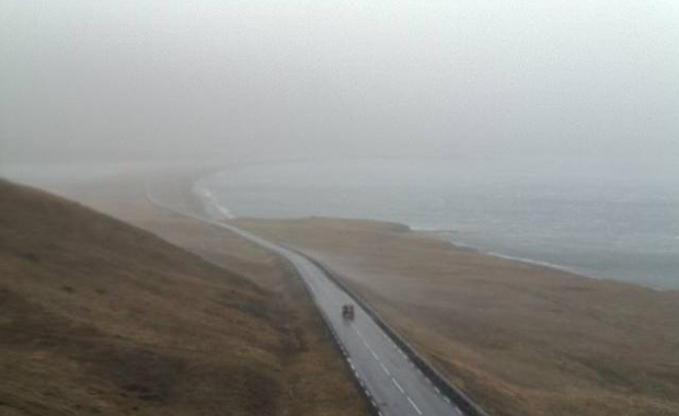
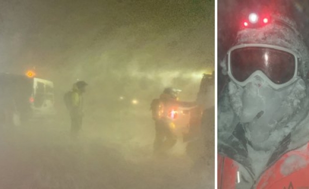
Driving conditions are currently quite tricky around Southwest Iceland and some areas should be avoided entirely. According to The Iceandic Met Office (IMO) considerable rainfall is also expected in the west and south of the country, lasting until after midday on Thursday. In these regions, the heaviest rainfall is expected around mountains and ice caps.
Cumulative rainfall amounts could easily exceed 100 mm (4 in) over 24 hours. Rising stream and river levels are likely on the Snæfellsnes peninsula, around the glaciers Eyjafjallajökull and Mýrdalsjökull, and south of Vatnajökull glacier. Travellers are cautioned against crossing unbridged rivers in these regions.
Strong crosswinds and gusts up to 30-35 m/s (67-78 mph/108-126 km/h) have been tearing over the highway between Keflavík International Airport and Reykjavík since early this morning slowing down traffic.
The wind has also been and will remain very strong today on Highway One (The Ring Road) south of town Borgarnes along the west coast.
The north part of Snæfellsnes peninsula is being especially hard hit. There will be no travel conditions in the area until late Thursday night. The wind will remain extreme in the central highlands until at least Thursday afternoon.
The wind will pick up in the north and east parts of the country in the evening and stay strong until tomorrow, Thursday.
Below you can follow the path of the wind over Iceland on a live map.
You can follow road conditions around Iceland live via the Icelandic Road and Coastal Administration’s (IRCA) web cams.


