The European Organisation for the Exploitation of Meteorological Satellites (EUMETSAT) published yesterday a great video of the low pressure system that wrecked havoc in Iceland earlier this week and then battered UK's western coasts.
EUMETSAT, an intergovernmental organisation, published the video on its Youtube page and you can watch it embedded here below.
As EUMETSAT explains the animation shows the system developing and progressing from 11.00 UTC (11am) on Monday December 8th, until 9.00 UTC (9am) on Wednesday Decemberth.
According to EUMETSAT the low pressure system underwent what is known as explosive cyclogenesis – or less formally became a weather bomb – when it intensified rapidly with a steep decline in pressure, between Greenland and Iceland late on Monday and early on Tuesday.
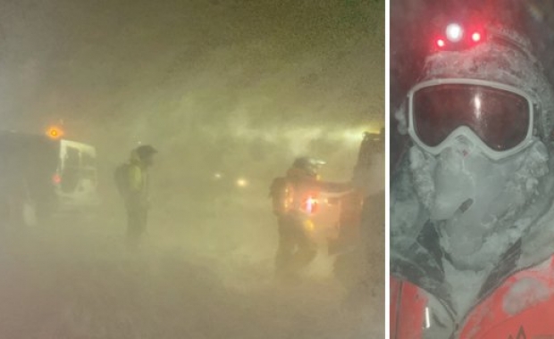
The system brought strong wind to Iceland and to the United Kingdom and Ireland, with particularly high waves on the open sea. The waves were described as phenomenal in the shipping forecast for the Rockall area. The low pressure system has also brought strong wind to northern areas of mainland Europe.
The animation was generated using infrared data from Meteosat, over NASA's Blue Marble.


