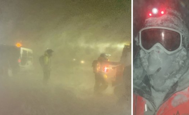
A storm and severe weather warning has been issued for South and West Iceland for tonight and tomorrow. The Icelandic Meteorological office forecasts a storm or violent gale in West Iceland tomorrow. The Icelandic Coast and Road Administration warns travellers that individual gusts can reach hurricane force, wind speeds of up to 50 m/s (110 mph).
Extra caution advised in certain areas
Tonight a south or southeast gale or strong gale, with wind speeds of 15-23 m/s (33-51 mph) and intermittent rain in the south, south west and west, but mostly dry in the north and east. The wind speed will pick up during the night. By tomorrow a southeast storm or violent gale in the west, with wind speeds of 23-30 m/s (51-67 mph).
Travellers are warned that individual wind gusts, especially along mountainsides, can reach far greater strength. The road along the south slopes of Eyjafjöll mountains in South Iceland, the south and west slopes of mount Esja north of Reykjavík, the west slope of Hafnarfjall mountain in West Iceland and the northern coast of Snæfellsnes peninsula in West Iceland are particularly dangerous.
The worst wind is expected after 20:00 (8 pm) tonight, and tomorrow morning. The storm is expected to peak around noon, and then quickly die out in the afternoon.


