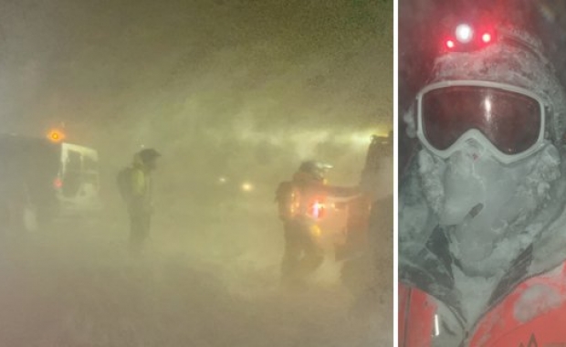
A violent storm is on its way, first hitting Iceland's south coast on Monday afternoon and then ploughing through the whole country during the Tuesday night. Needless to say this is no travelling weather.
This is blizzard number four to pummel Iceland in less than a week and according to the Icelandic Met Office (IMO) the far largest one.
IMO expects the violent storm or hurricane force winds to reach 25-35 m/s (90-126 kmh, 56-78 mp ) with bursts close to mountains up to double stronger. Also sleet or snow with temperature near freezing, but 0° to 5° C (32°-41° F) in the south part.
You can follow road conditions around Iceland live via the Icelandic Road and Coastal Administration’s (IRCA) web cams.
Below is a live animation of how the winds are hitting Iceland.


