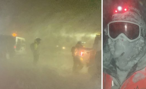
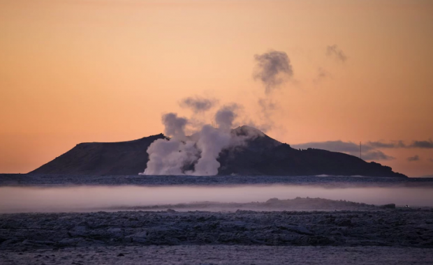
A low-pressure area travelling over the western and southern regions will bring with it more heavy rain today, Thursday, and tomorrow. The area between Mýrdalsjökull glacier and Höfn in Hornafjörður will see especially heavy rain tonight and until tomorrow morning. 110 mm of rain is expected to fall in the area during that time in addition to possible snow-melts from Mýrdalsjökull and Vatnajökull glaciers, causing already high river levels to rise even further. This could lead to flooding on roads and motorists are advised to show extra caution when driving in the area today and tomorrow.
Read more: Storm badly damages marquee that was to host university students' annual Octoberfest
The IMO has also issued a strong gale warning for Breiðafjörður, the Westfjords and the northwestern parts of the country until late noon, with gusts of wind reaching more than 20 metres per second (45 mph/72 km per hour).


