The peaks of Jarlhettur Mountain Ridge rise from a plain of gravel and black sand desert in one of Iceland’s most desolate areas. As most of Iceland’s central highlands it’s been burnt by volcanoes for centuries and then gnawed naked by the relentless ferocity of long, cold and windy winters.

The mountain ridge extends 14 km (8.7 mi) from west to east along the southeast edge of Langjökull, Iceland’s second largest glacier. The stunningly beautiful 20 palagonite peaks were formed in a sub-glacial eruption during Ice Age. Highest of the peaks is Innsta-Jarlhetta rising 1.084 meters (3.556 ft) above see level.
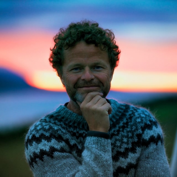
Medical doctor, videographer and mountaineer Ólafur Már Björnsson has just published this brilliant short film shot during a hike in the area. The footage was captured from the ground and also from above with a drone creating a beautiful perspective.
Jarlhettur from Olafur Mar Bjornsson on Vimeo.
According to the Icelandic Web of Science (IWS) lately geologists have been paying increased attention to the palagonite formation in Iceland, partly because similar formations apparently exist on the planet Mars. The palagonite is mostly formed in sub-glacial or under water eruptions.
Read more: A guide to Iceland’s glaciers, what to do there & their claim to fame
IWS reports that contemporary eruptions of this type have been observed and investigated at Katla volcano in Mýrdalsjökull glacier 1918, Surtsey island 1963 (submarine), and Grímsvötn volcano in Vatnajökull glacier (1934, 1996, 1998). Well known palagonite hills and mountains close to the capital are Helgafell, Hengill, Bláfjöll, and ridges on Reykjanes Peninsula.
Iceland Tourist Association (ITA) operates a mountain hut at the foot of the westernmost peak of the Jarlhettur Mountain Ridge. It's located by lake Hagavatn in a vegetated dell at the edge of Langjökull glacier. It was built in 1942 and accommodates twelve people. See ITA's website for availability.
The peaks of Jarlhettur Mountain Ridge rise from a plain of gravel and black sand desert in one of Iceland’s most desolate areas. As most of Iceland’s central highlands it’s been burnt by volcanoes for centuries and then gnawed naked by the relentless ferocity of long, cold and windy winters.

The mountain ridge extends 14 km (8.7 mi) from west to east along the southeast edge of Langjökull, Iceland’s second largest glacier. The stunningly beautiful 20 palagonite peaks were formed in a sub-glacial eruption during Ice Age. Highest of the peaks is Innsta-Jarlhetta rising 1.084 meters (3.556 ft) above see level.
Medical doctor, videographer and mountaineer Ólafur Már Björnsson has just published this brilliant short film shot during a hike in the area. The footage was captured from the ground and also from above with a drone creating a beautiful perspective.
Jarlhettur from Olafur Mar Bjornsson on Vimeo.
According to the Icelandic Web of Science (IWS) lately geologists have been paying increased attention to the palagonite formation in Iceland, partly because similar formations apparently exist on the planet Mars. The palagonite is mostly formed in sub-glacial or under water eruptions.
Read more: A guide to Iceland’s glaciers, what to do there & their claim to fame
IWS reports that contemporary eruptions of this type have been observed and investigated at Katla volcano in Mýrdalsjökull glacier 1918, Surtsey island 1963 (submarine), and Grímsvötn volcano in Vatnajökull glacier (1934, 1996, 1998). Well known palagonite hills and mountains close to the capital are Helgafell, Hengill, Bláfjöll, and ridges on Reykjanes Peninsula.
Iceland Tourist Association (ITA) operates a mountain hut at the foot of the westernmost peak of the Jarlhettur Mountain Ridge. It's located by lake Hagavatn in a vegetated dell at the edge of Langjökull glacier. It was built in 1942 and accommodates twelve people. See ITA's website for availability.


