UPDATE Wednesday September 19 9:30 First winter storm will start off slowly in southwest , but no travel weather in rest of country
People are asked to revise their travel plans or make appropriate arrangements as the first major storm of the season heads our way. The Icelandic Meteorological Office has issued a Yellow Weather Alert for all of Iceland, effective from the morning of Wednesday September until noon on Friday September 21.
Winter driving conditions
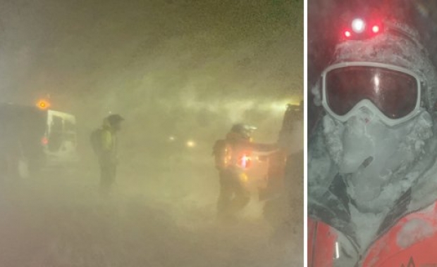
A northerly 15-23 m/s (33-51 mph) winds on Wednesday morning will bring heavy precipitation from the north, including snow at higher altitudes, causing poor driving conditions on heaths and mountain passes along the Ring Road. The winds will be strongest in the east and north of Iceland, including both the West- and Eastfjords. The temperature is expected to drop on Wednesday afternoon, bringing snow and sleet on lower altitudes and closer to the coast. This can cause difficult or dangerous driving conditions, especially as strong windgusts and localized winds can cause drivers to lose control of their vehicles.
Expect winter driving conditions on Wednesday afternoon and Thursday, especially on mountain roads, heaths and in mountain passes. Remember that conditions on the Ring Road at higher elevations can be dramatically worse than on lowland.
Dangerous winds in the south
Conditions in the south of Iceland, including the South Coast and Golden Circle, are expected to be better, mostly dry, but powerful localized winds along steep mountains, can pose serious threat to vehicles susceptible to wind. The area between Seljalandsfoss waterfall and the town of Vík is particularly dangerous in this regard.
The weather is expected to improve on Friday morning. Travelers should make appropriate arrangements or changes to their travel plans and avoid driving while the storm passes over.
The IMO cautions that there is still considerable uncertainty with regards to the exact path of the storm. Conditions can change rapidly and people are urged to pay close attention to the weather forecast, weather alerts, updates on road conditions and travel warnings from ICE-SAR.


