Around 430 earthquakes have been detected with the the South Iceland Lowland (SIL) monitoring system of the Icelandic Met Office (IMO) last week (9-15 November). Around 50 of these were located around the Bárðarbunga, the sub-glacial caldera located below Vatnajökull’s ice cap. A small earthquake sequence was measured at Fagradalsfjall mountain on the Reykjanes peninsula. Around 30 earthquakes were detected in Katla volcano in Mýrdalsjökull glacier, which is according to IMO, rather low activity in this notorious volcano.

Several hundreds earthquakes are detected every week in Iceland. The explanation is the country’s location on the divergent boundary between the Eurasian plate and the North American plate. Iceland also lies above a hotspot, the Iceland plume, which is believed to have caused the formation of the island some 16 to 18 million years ago. As a consequence we have repeated eruptions and seismic activity, and, of course, an abundant of geothermal energy.
The strongest event of last week was a magnitude 2.7 quake in the large Bárðarbunga caldera, where an M3.2 quake then hit yesterday.
Read more: Earthquakes picking up pace in Bárðarbunga volcano
The SIL system
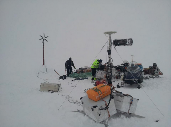
IMO’s automatic SIL monitoring network has been in operation for almost two decades. Besides evaluating source function and mechanism information carried from below by micro-earthquakes, it provides near real-time information that is used as the basis for an alert system.
Around 430 earthquakes have been detected with the the South Iceland Lowland (SIL) monitoring system of the Icelandic Met Office (IMO) last week (9-15 November). Around 50 of these were located around the Bárðarbunga, the sub-glacial caldera located below Vatnajökull’s ice cap. A small earthquake sequence was measured at Fagradalsfjall mountain on the Reykjanes peninsula. Around 30 earthquakes were detected in Katla volcano in Mýrdalsjökull glacier, which is according to IMO, rather low activity in this notorious volcano.

Several hundreds earthquakes are detected every week in Iceland. The explanation is the country’s location on the divergent boundary between the Eurasian plate and the North American plate. Iceland also lies above a hotspot, the Iceland plume, which is believed to have caused the formation of the island some 16 to 18 million years ago. As a consequence we have repeated eruptions and seismic activity, and, of course, an abundant of geothermal energy.
The strongest event of last week was a magnitude 2.7 quake in the large Bárðarbunga caldera, where an M3.2 quake then hit yesterday.
Read more: Earthquakes picking up pace in Bárðarbunga volcano
The SIL system
IMO’s automatic SIL monitoring network has been in operation for almost two decades. Besides evaluating source function and mechanism information carried from below by micro-earthquakes, it provides near real-time information that is used as the basis for an alert system.


